Datasets

Explore published geographic, environmental, climate and spatial datasets from the repository.

12 results found
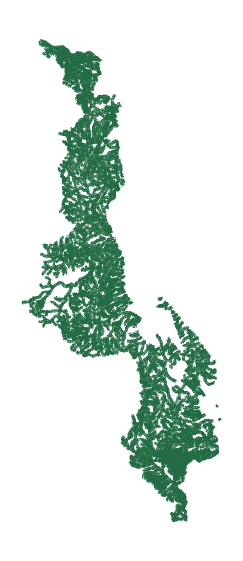
Malawi Rivers

Malawi Rivers

Malawi's river system is dominated by the Shire River, the country’s largest waterway, which flows from Lake Malawi southward to join the Zambezi River. Other major river systems feeding into Lake Malawi or draining its…
Updated: Nov 05, 2026 • Type: Vector • Category: Hydrology & Water Resources • 14
Malawi Protected Areas

Malawi Protected Areas

This dataset delineates Malawi's protected areas, which include national parks, game reserves, and forest reserves. Malawi has nine national parks and reserves. Major national parks include Nyika National Park (the larg…
Updated: Nov 04, 2026 • Type: Vector • Category: Environment • Year: 2026 • 39
Malawi Agricultural Yield

Malawi Agricultural Yield

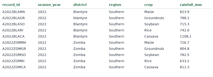
The dataset is a raw agricultural dataset containing crop yield records from districts across Malawi. It includes variables such as district, region, crop, season, rainfall, temperature, fertilizer usage, farm size, pes…
Updated: Nov 04, 2026 • Type: Tabular • Category: Agriculture • 147
Mulanje DEM

Mulanje DEM

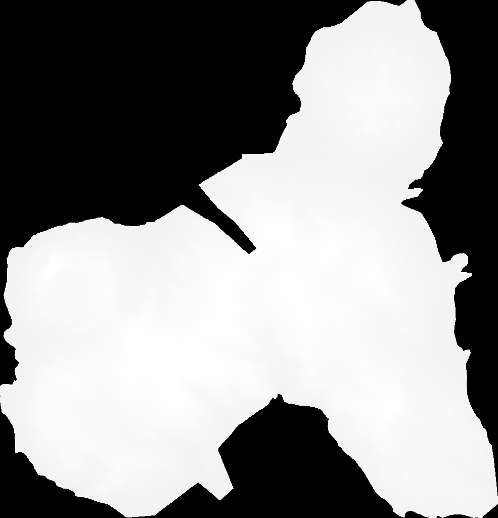
Digital Elevation Model of Mulanje Mountain and surroundings, peaking at Sapitwa (~3,002 m). Used for hydrology, slope, and conservation analysis.
Updated: Nov 04, 2026 • Type: Raster • Category: Elevation & Terrain • CRS: UTM Zone 36S (Malawi) • 75
Malawi Outline

Malawi Outline

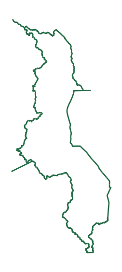
Dissolved national outline of Malawi as a single polygon. Used as a clipping mask and for national-level mapping.
Updated: Nov 02, 2026 • Type: Vector • Category: Administrative Boundaries • 48
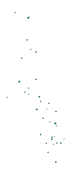
Malawi Towns

Malawi Towns

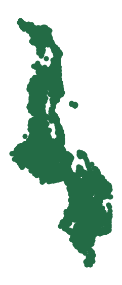
Point locations of towns and secondary urban centres across Malawi. Used for rural-urban linkage and service accessibility analysis.
Updated: Nov 01, 2026 • Type: Vector • Category: Administrative Boundaries • 44
Malawi Cities

Malawi Cities

Malawi's four cities — Lilongwe, Blantyre, Mzuzu, and Zomba. Used for urban planning and demographic analysis.
Updated: Nov 04, 2026 • Type: Vector • Category: Administrative Boundaries • 55
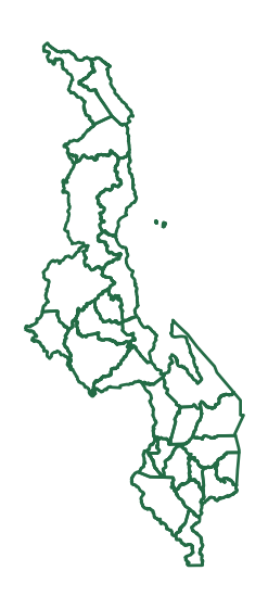
Malawi District Boundaries

Malawi District Boundaries

This dataset defines the administrative boundaries of Malawi's territorial divisions. The country is organized into three administrative regions—Northern, Central, and Southern—which are further subdivided into 28 distr…
Updated: Nov 04, 2026 • Type: Vector • Category: Administrative Boundaries • 211
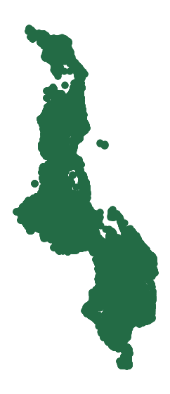
Malawi Villages

Malawi Villages

This dataset identifies the locations and spatial extents of villages throughout Malawi. A village constitutes the smallest unit of settlement and customary land administration, typically comprising several households a…
Updated: Nov 04, 2026 • Type: Vector • Category: Administrative Boundaries • 110
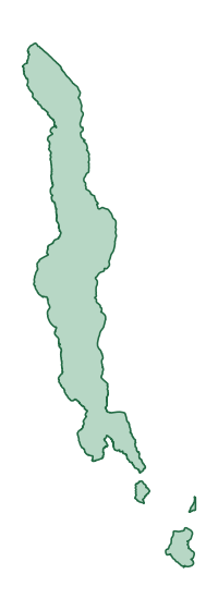
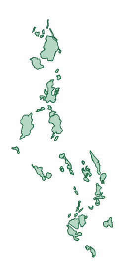
Malawi Lakes

Malawi Lakes

This dataset delineates the major lakes and significant water bodies of Malawi. Lake Malawi, the country's dominant feature, is the third-largest lake in Africa and the second-deepest, occupying approximately 28,800–29,…
Updated: Nov 05, 2026 • Type: Vector • Category: Hydrology & Water Resources • 77