
Choose what needs to connect.
Search for combinations retained in the same scene version.
Geospatial Data & Imagery
Access high-quality spatial datasets, drone imagery, and vector data to support your research and mapping needs.
Explore datasetsDissertations & Research Outputs
Discover in-depth academic research, methodologies, and spatial findings from NSCES scholars and researchers.
Browse dissertationsResearch by Department
Explore our research outputs and spatial data organised by the various departments within Ndata School.
View departmentsPlease note that the presence of files does not guarantee their calibration, registration accuracy, or suitability for any specific analytical model.
Discover imagery.
Derived spatial structure.
Use both, with the right expectations.
Connected does not mean independently measured.
Spatial datasets encompass a variety of formats, including vector data (points, lines, polygons), raster imagery, and derived 3D structures like photogrammetric point clouds and meshes. While these structures are reconstructed from imagery, they are not independent survey ground truth. Camera files can contain observations, calibration or reconstructed poses; inspect the actual fields and metadata to understand the data's limitations.
Local context for Malawian spatial datasets.
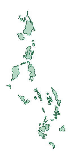
The current catalog primarily features aerially captured scene data (drone and UAV imagery) focused on Malawian landscapes, including agricultural estates, urban developments, and land administration areas. These datasets are derived from local flights and are not a promise of indoor coverage, global satellite precision, or simulator-ready assets. Users should account for local atmospheric conditions and typical equatorial lighting when interpreting these derived structures.
The scene is the starting point.
Open the views, inspect the file types and read the capture limitations.
Recent Spatial Datasets
View all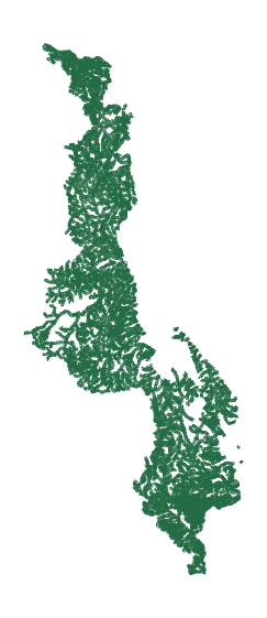

Recent Dissertations
View allASSESSING ENVIRONMENTAL IMPACTS OF ARTISANAL AND SMALL-SCALE GOLD MIN…
The study was conducted in the Lumwira Village, T.A. Mazengera, Nathenje where villagers are extracting gold from their land illegally. …
SPATIAL - TEMPORAL ANALYSIS OF VEGETATION COVER DYNAMICS FOLLOWING CY…
Cyclone Freddy, a severe tropical storm, struck the Southern Region of Malawi in March 2023 causing extensive environmental damage, Blantyre …
A MULTI-CRITERIA GIS MODEL FOR SUITABILITY ANALYSIS OF LOCATIONS FOR …
The rapid urbanization of Lilongwe City, Malawi, has exacerbated solid waste management issues, as the existing dumpsite in Area 38 …